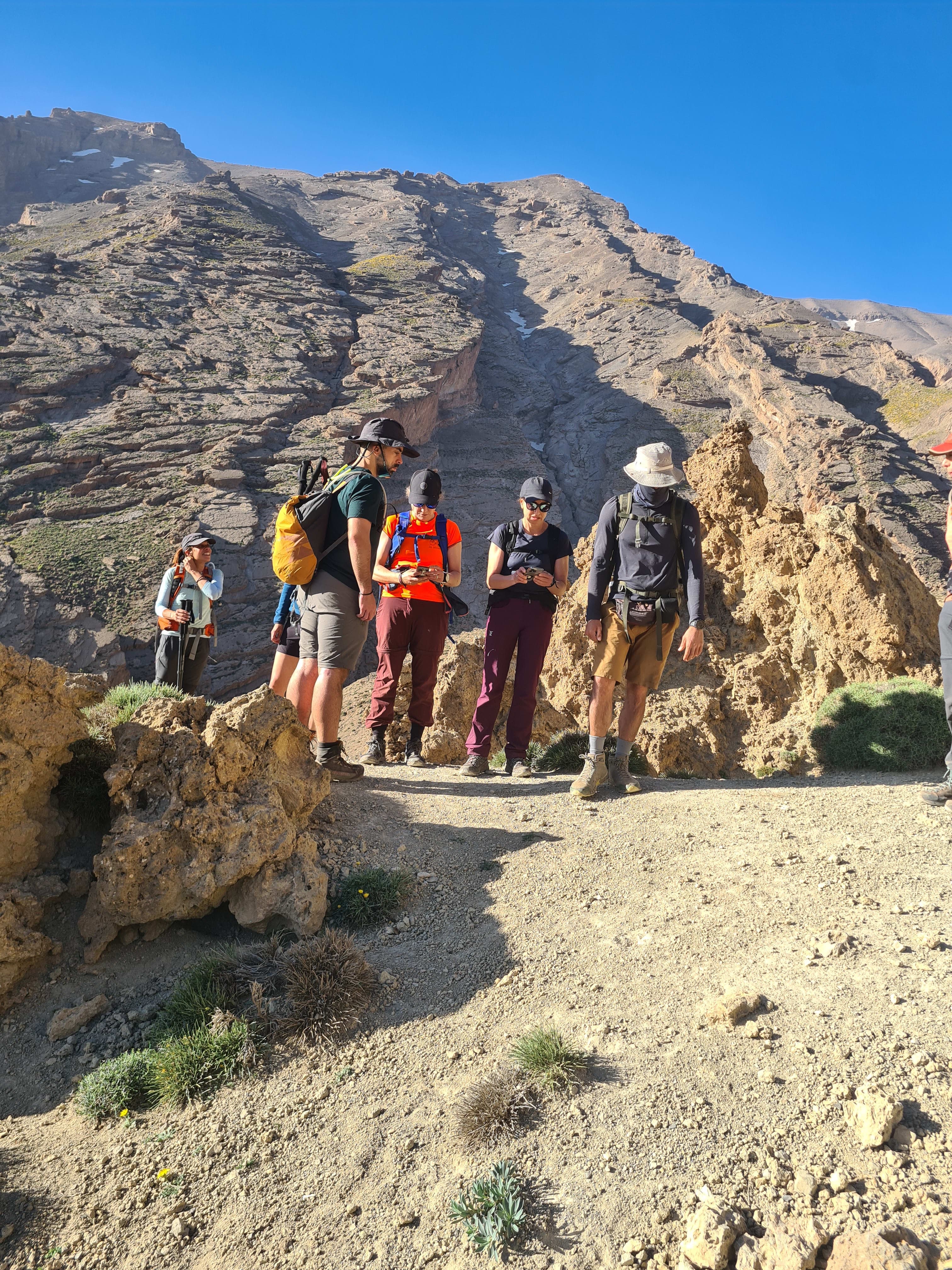
A local guide to Morocco's Atlas Range, from Toubkal and Imlil to M'Goun, Berber valleys, mountain culture, trekking seasons, and responsible travel.
The Atlas Range of Morocco is not only a line of mountains on a map. It is the backbone of the country: a high, folded world between Atlantic winds, Marrakech plains, old caravan routes, snow summits, dry stone villages, walnut terraces, shepherd paths, and valleys where Amazigh families have lived with the rhythm of altitude for generations.
If you stand in Imlil early in the morning, before the first trekkers start walking toward Mount Toubkal, you can feel why these mountains matter. Smoke rises from houses, mules are being loaded, guides drink a quick glass of tea, and the light touches the upper slopes before it reaches the village. The Atlas does not introduce itself loudly. It asks you to walk a little, listen a little, and earn the view.
This guide is written from that place. The heart of it comes from the trails our team knows best: Mount Toubkal, Imlil, Azzaden, Imnane, Tizi n'Mzik, Tamsoult, Aremd, Matat, and the Berber valleys that make the High Atlas more than a trekking destination.
Summary of the article
- What Is the Atlas Range of Morocco?
- The High Atlas: Morocco's Great Mountain Roof
- Toubkal and Imlil: The Gateway Most Travelers Meet First
- The Valleys Are the Real Atlas
- Amazigh Life in the Mountains
Jump to the section that interests you most.
What Is the Atlas Range of Morocco?
The Atlas Mountains stretch across North Africa, but Morocco holds some of their most dramatic sections: the High Atlas, Middle Atlas, and Anti-Atlas. For trekkers, the High Atlas is the name that matters most. This is where Morocco rises highest, where deep valleys sit below 4,000-meter ridges, and where the short distance from Marrakech can bring you into a completely different climate and culture.
The range works like a natural wall and a bridge at the same time. It separates the wetter Atlantic and Mediterranean-influenced north from drier pre-Saharan lands to the south, but it also connects people, markets, grazing routes, and villages through high passes. One valley can feel green with walnut trees and irrigated fields; the next can feel open, red, and dry, already looking toward the desert.
That is why the Atlas is never one simple landscape. It is a collection of mountain worlds.
The High Atlas: Morocco's Great Mountain Roof
The High Atlas is the highest and most famous part of the range. It runs across central Morocco and contains the country's highest summits, including Mount Toubkal at 4,167 meters and the M'Goun massif around 4,071 meters. These are not just numbers for peak collectors. They shape weather, water, travel, farming, and the identity of the people who live below them.
In the Toubkal region, the mountains are steep and direct. From Marrakech you can drive to Imlil in around 1.5 hours, then start walking toward the highest summit in North Africa. In the central High Atlas around M'Goun and Ait Bouguemez, the feeling is wider and more remote: long ridges, high plateaus, red valleys, and villages where trekking often feels slower and more expedition-like.

M'Goun is also important beyond trekking. The wider M'Goun area is recognized internationally for geology and landscape heritage through the UNESCO Global Geopark network. That matters because the Atlas is not only beautiful on the surface; the rocks themselves tell a long story of uplift, erosion, ancient seas, and mountain building.
Toubkal and Imlil: The Gateway Most Travelers Meet First
For many visitors, the Atlas begins in Imlil. It is the main trailhead for Mount Toubkal, and it is also one of the best places to understand how tourism, agriculture, guiding, mule work, and village life meet in one valley.
Toubkal is famous because it is the highest summit in Morocco and North Africa, but the route is not only about standing on top. The trail passes Aremd, Sidi Chamharouch, the Mizane Valley, and the high refuge area where trekkers sleep before summit day. In good non-winter conditions, the standard route is a trek rather than a technical climb, but the altitude, long descent, and mountain weather deserve respect.
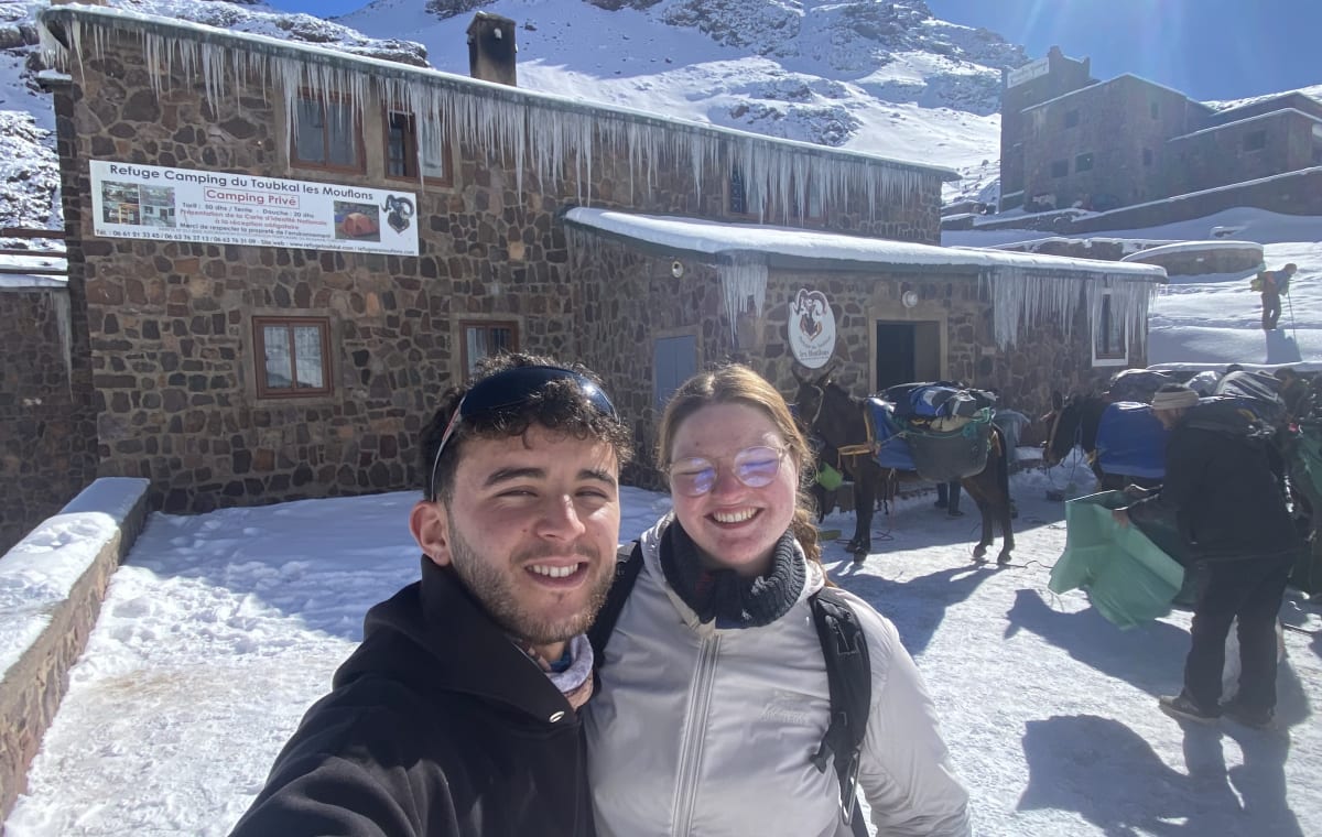
This is where our site focuses strongly because it is our home region. If you want the direct summit experience, the 2-day Toubkal trek from Marrakech is the classic route. If you want a slower pace and more time to adjust, the 3-day Toubkal hike is often better. For hikers who want scenery beyond the direct trail, routes through Tamsoult and Azzaden Valley show another side of the Toubkal National Park area.
The Valleys Are the Real Atlas
Summits make headlines, but valleys hold the life of the Atlas. Azzaden, Imnane, Imlil, Ait Mizane, Ourika, Tessaout, and Ait Bouguemez all have their own character. Some are close to Marrakech and busy in high season. Others require longer drives, higher passes, or multi-day treks.
In the valleys, you see how mountain life works: irrigation channels carrying snowmelt and spring water into terraces, walnut trees shading paths, stone houses built into slopes, women carrying grass or firewood, children walking to school, and mules doing the work that roads still cannot do.

This is why a trek in the Atlas should never be sold as only exercise. You are walking through living places. A muleteer is not a background detail. A village is not a photo stop. A trail is often the same line used by families, shepherds, children, market goods, and seasonal movement.
When travelers understand this, the experience changes. They walk more respectfully, ask better questions, and leave with more than summit photos.
Amazigh Life in the Mountains
The people many travelers call Berbers often call themselves Amazigh, meaning free people. In the High Atlas, language, hospitality, land, and seasonal work are deeply connected. A house is not only a house; it is part of a family network, a farming calendar, and a relationship with water, pasture, snow, and road access.
Hospitality is not a tourism performance here. Tea, bread, olive oil, couscous, tagine, walnuts, and local stories are part of how mountain communities welcome people. At the same time, life in the Atlas is not romantic in a simple way. Winters can be hard. Roads can close. Young people often balance village responsibilities with work in Marrakech, guiding, migration, study, or tourism.
UNESCO's recognition of Taskiwin, a martial dance from the western High Atlas, is one small public sign of how rich and fragile mountain culture can be. But culture is not only dance and festivals. It is also the way a muleteer ties a load, the way terraces are repaired after storms, the way guides read cloud movement, and the way families decide when to move animals higher or lower with the season.
Seasons in the Atlas Mountains
The Atlas changes strongly with the season, and choosing the right time matters.
- Spring, from March to May, brings greener valleys, snow remaining on high peaks, and comfortable trekking temperatures.
- Early summer, especially June, is excellent for high passes and longer treks before the strongest heat reaches lower valleys.
- July and August can be hot in lower areas, but high routes remain possible with early starts and good planning.
- September to November is one of the best trekking periods, with stable weather, clear light, and cooler evenings.
- Winter, from December to March, turns Toubkal and the high passes into real winter mountain terrain where crampons, ice axe, warm layers, and experienced guiding may be necessary.
For first-time trekkers, spring and autumn are usually the easiest seasons. For experienced hikers who want snow, winter Toubkal can be beautiful, but it should be treated seriously. Our Mount Toubkal winter guide explains the equipment and safety side in more detail.
How Difficult Is Trekking in the Atlas?
The Atlas has walks for almost every level, but difficulty depends on the route, season, altitude, and pace.
A day hike around Imlil can be gentle and cultural. A 2-day Toubkal climb is moderate to challenging because it compresses altitude, refuge night, summit climb, and descent into a short time. A multi-day traverse through remote valleys may not reach Toubkal's height, but it can feel harder because of distance, heat, rough trails, and simple accommodation.
The main challenges are:
- Altitude above 3,000 meters
- Long descents on rocky paths
- Strong sun and quick weather changes
- Cold mornings near high refuges and passes
- Limited facilities in remote valleys
- The need to respect local pace and mountain conditions
This is why local guiding matters. A good guide is not just someone who knows the path. A guide reads the group, the weather, the village rhythm, the water stops, the mule team, the refuge situation, and when to continue or slow down.
Best Atlas Experiences Around Toubkal and Imlil
If your trip is based around Marrakech and you want a strong Atlas experience without wasting travel days, the Toubkal and Imlil region is the best starting point.
Good options include:
- 2-day Mount Toubkal trek for active travelers who want the summit in a short time
- 3-day Toubkal hike for a better pace and more time in the mountains
- Imlil Valley day trek for travelers who want villages, views, and a return to Marrakech the same day
- 2-day Azzaden Valley trek for quieter Berber valley scenery without climbing Toubkal
- Imnane, Azzaden and Toubkal trek for hikers who want a fuller High Atlas journey
These routes support local guides, muleteers, cooks, drivers, guesthouses, and families. When organized properly, trekking can be one of the ways mountain tourism helps villages stay alive economically while giving travelers a real experience.
Responsible Travel After the 2023 Earthquake
The 2023 Al Haouz earthquake affected many mountain communities south of Marrakech. Some places recovered quickly enough to welcome visitors again; others still carry visible damage and emotional weight. This matters when writing about the Atlas today. These mountains are beautiful, but they are also home to people who have lived through loss, rebuilding, and uncertainty.
Responsible travel does not mean avoiding the region. In many villages, visitors help keep guides, drivers, muleteers, guesthouses, and small shops working. But it does mean traveling with patience and respect.
Choose local operators. Do not treat damaged villages as attractions. Ask before photographing people. Pay fair prices. Listen when locals explain what has changed. The Atlas has always been resilient, but resilience should not be used as an excuse to forget the difficulty people have carried.
What Makes the Atlas Range Different from Other Mountain Destinations?
The Atlas is accessible, but it still feels deeply mountain. You can drink coffee in Marrakech in the morning and sleep below 4,000-meter peaks the same night. You can climb the highest summit in North Africa in two days, then return to the city with dust on your boots and the smell of wood smoke still in your jacket.
But the strongest difference is cultural closeness. In some mountain destinations, villages feel separate from trekking. In the Moroccan Atlas, they are part of the route itself. Trails pass through lived landscapes, not empty wilderness. The mountain is natural, cultural, and human at the same time.
That is the real reason people remember it.
Planning Your Atlas Mountains Trip
For most travelers, the easiest plan is to start from Marrakech and choose a route based on time and fitness.
- 1 day: Imlil Valley, Aremd, short passes, tea with a local family, return to Marrakech
- 2 days: Toubkal summit or Azzaden Valley
- 3 days: Toubkal at a better pace, or Toubkal with more village time
- 4 to 6 days: Imnane, Azzaden, Tamsoult, Toubkal, or longer valley combinations
- 7 days or more: deeper High Atlas traverses, M'Goun-style routes, or mixed mountain and desert journeys
Pack layers even outside winter. Bring sun protection, good shoes, water bottle, and a headlamp for refuge routes. If you are missing equipment, check our Imlil gear shop before your trek.
The Atlas is best understood on foot. Walk slowly through Imlil at sunrise, cross a pass into Azzaden, sit for tea in a village house, listen to a muleteer joke with your guide, and look back from the trail when the valley drops below you. That is when the Atlas Range of Morocco stops being a destination and becomes a memory you carry home.
Put this guide into practice
Guided treks related to this article
Written and reviewed by
Atlas Toubkal Trek Team
Atlas Toubkal Trek is based in Imlil, where the main Mount Toubkal and High Atlas routes begin. Our guides combine local trail knowledge with the practical questions hikers ask before and during their trek.
Meet the local teamTopics
Continue Reading
Explore more articles in Morocco Travel

High Atlas Mountains: A Beginner's Guide from Someone Who Calls Them Home
A local guide from Imlil shares a beginner's guide to Morocco's High Atlas Mountains, from Mount Toubkal to Amazigh village life and mountain culture.

How to Climb Mount Toubkal: Local Guide to the Route, Difficulty, Cost and Summit
Learn how to climb Mount Toubkal from Imlil with local guide advice on the 2-day route, difficulty, altitude, refuge, packing, cost, best season and summit day.
Can You Climb Mount Toubkal Without a Guide? 2026 Rules Explained
Can you climb Mount Toubkal without a guide in 2026? A local guide from Imlil explains the current Toubkal guide rule, checkpoints, safety, and how to book.